NEWFor Sailing People |
||
Yachting, sailing, cruising, marinas and ports information. Caribbean, Mediterranean. Navigation software, digital charts |
||
 |
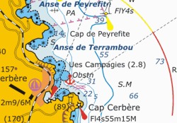
Nautical Charts & BooksDigital nautical charts for navigation for Mediterranean, Caribbean and other parts of World in format BSB 2.0
|
 |
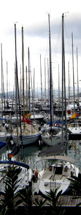
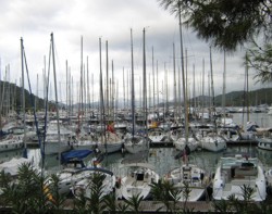
Mediterranean SailingUseful
Information for Mediterranean sailing and Cruising. |
 |
|
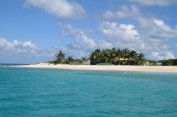
Caribbean SailingBeautiful
Caribbean's Islands and countries... |
 |
|
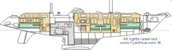
Boat AtlasLayout and
specification of many famous boats from Beneteau, Jeanneau, Gib Sea,
Hunter and Bavaria... |
 |
|
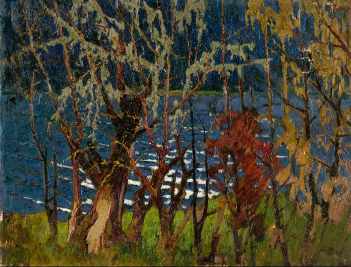
Art collectionAndrei Andreyevich Serbutovski (1923-2006)
|
 |
|
Diving |
||
| About Us Privacy Terms & Condition Contact Us | ||
|
Copyright ©1yachtua.com 1998-2023 |
||